We spent all day, well 5 hours of it, out on this trail. We trekked 8.9 miles and gained 700 feet in elevation. The weather was almost too warm, around 75-80 and the skies were sunny and beautiful! It is a place that is full of history and tragedy. I'll give a little history, but I we took so many pictures. I probably will not caption all of them, my typing finger would surely give out!.
The history of the Iron Goat Trail, reprinted from www.irongoat.org...
The story of the Iron Goat began over 100 years ago when the last spike of the Great Northern Railway was driven, completing one of the most remarkable engineering feats of the nineteenth century. It marked the crossing of the Cascades at Stevens Pass which helped open the Pacific Northwest to settlement and trade with the rest of the world. This feat was recognized by establishment of the Stevens Pass Historic District in 1976.
The Great Northern route was the best engineered of the transcontinental railways. The original route over the pass consisted of an intricate set of switchbacks cut into the mountainside. While the switchbacks were an engineering triumph, they had serious disadvantages.
The Cascade Tunnel, completed in 1900, bypassed the switchbacks. Several snowsheds were also added for safety, but winter conditions still presented serious hazards. Trains were often stopped for days in winter storms.
In 1910, snowslides delayed two trains at the town of Wellington. A vast section of snow on Windy Mountain broke loose and crashed down, sweeping both trains off the tracks into Tye Creek below. Rescue efforts were quickly organized, but nearly one hundred lives were lost.
This single event made Wellington the site of one of the worst railroad disasters in the nation's history and also the most tragic snow avalanche. This prompted more improvements to avoid such tragedy striking again. As rail traffic increased, a "new" Cascade Tunnel was completed in 1929. This eight-mile tunnel is still in use today by the Burlington Northern Santa Fe Railroad. The opening of the new tunnel made the old grade obsolete and it was abandoned completely. It is this abandoned stretch that comprises the Iron Goat Trail today.
Following are pictures from our day...
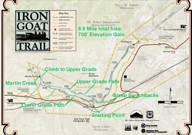
I made this map and marked it with our hiking route. We started at the Iron Goat Trail Interpretive Site. We headed west on the Lower Grade trail, until we reached Martin Creek. We turned back and retraced our steps to the path leading up to the Upper Grade path. We climbed a bit here, it was a pretty strenuous ascent. We reached the Upper Grade and hiked east, along the trail, passing across and through several waterfalls. We finally reached the trail down. The way down was dozens of steep, narrow switchbacks. We had to make our way, slowly. It took quite a while. We eventually ended up, back where we had begun.
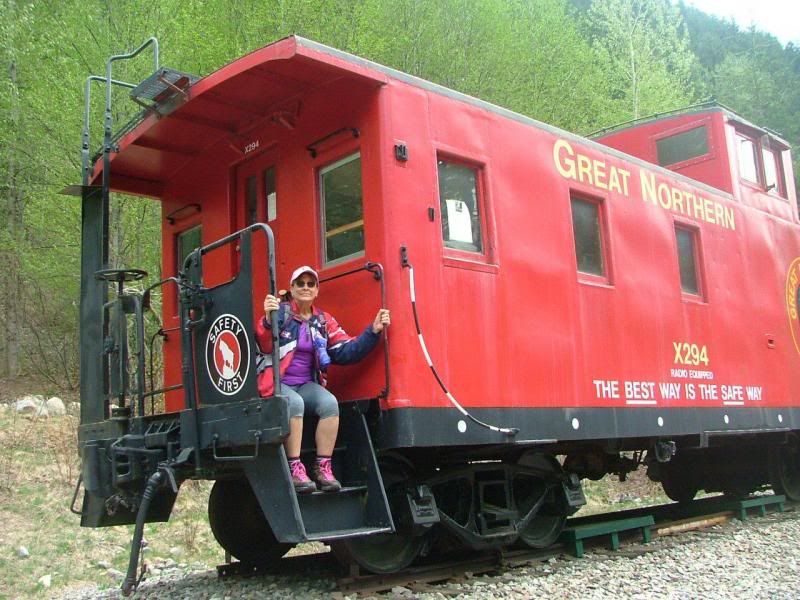
This old Caboose sat here, from the 1950's. It was fun to climb around on.
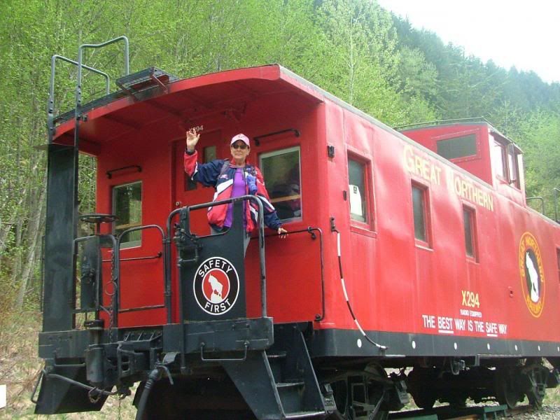
It was carpeted inside and had an old pot bellied stove!
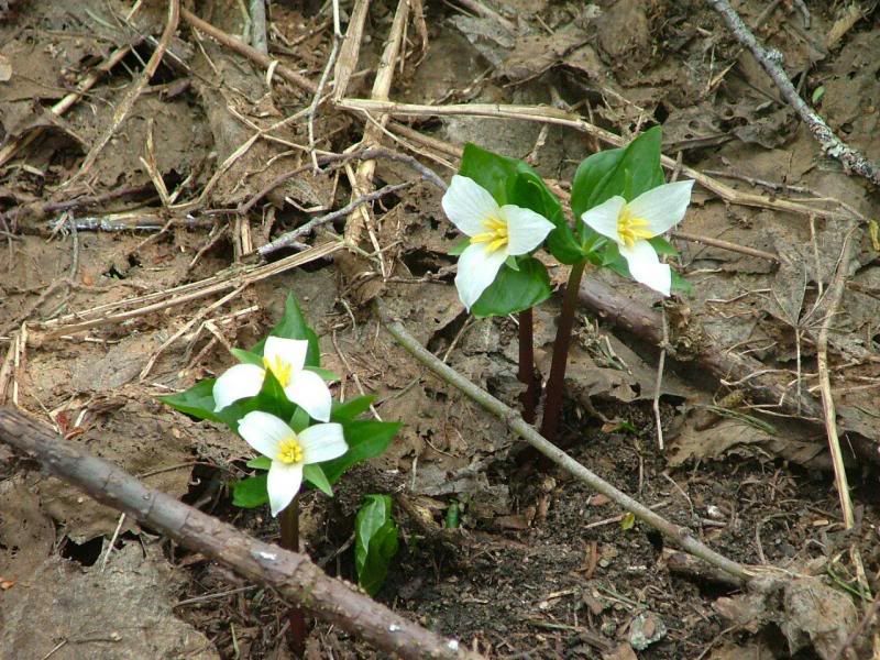
The flowers are just beginning to bloom now.
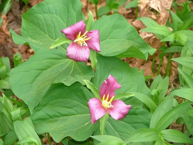
There are areas full of these. I bet they're beautiful when they get full!
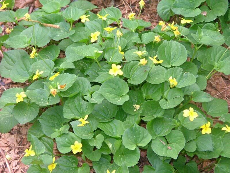
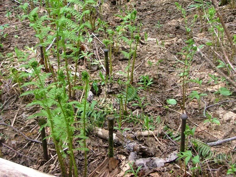
These little "surprise" flowers were popping out all over too.
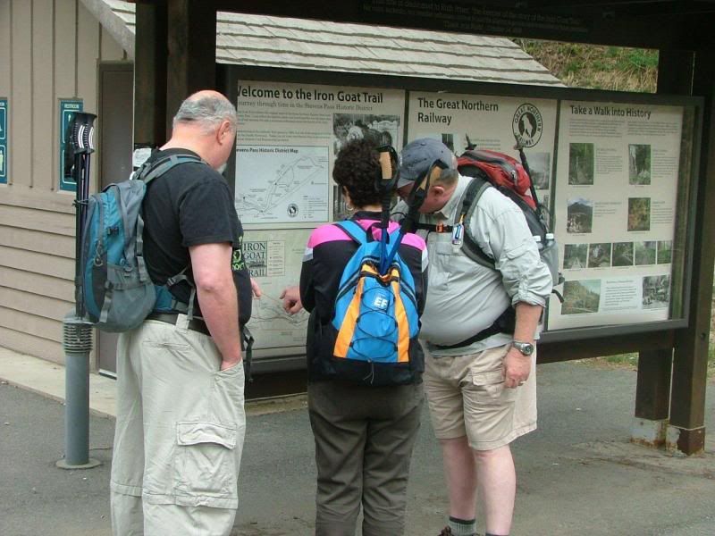
Rick, Linda and Jay, checking out where we'll go.
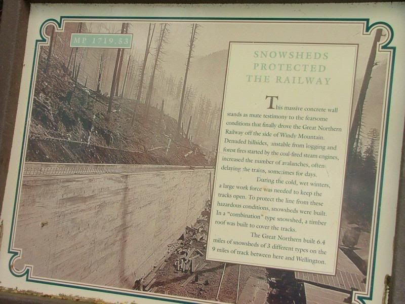
One of the massive backwalls. These were build 100 years ago to help protect the railroads and people, from avalanches. They had huge roofs over the railroad. It didn't prevent the deaths. From what I've read, they were caused by misjudgement by the people. They were asked to go inside and it was felt that it was too dark and scarey inside. So they remained outside in the rail cars. They all lost their lives that night.
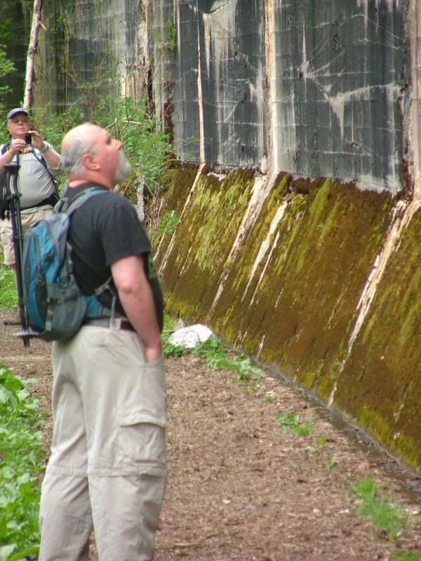
Really huge!
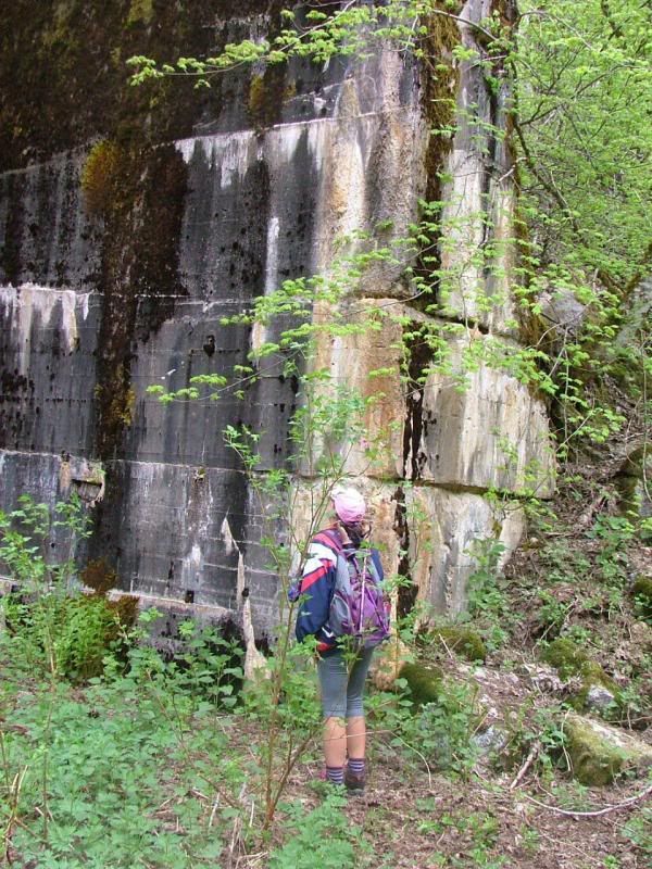
We are dwarfed in comparison.
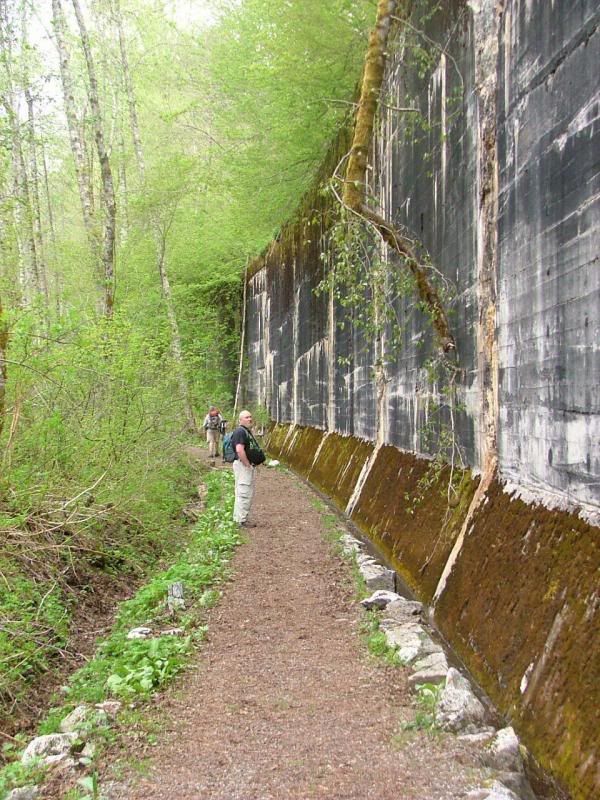
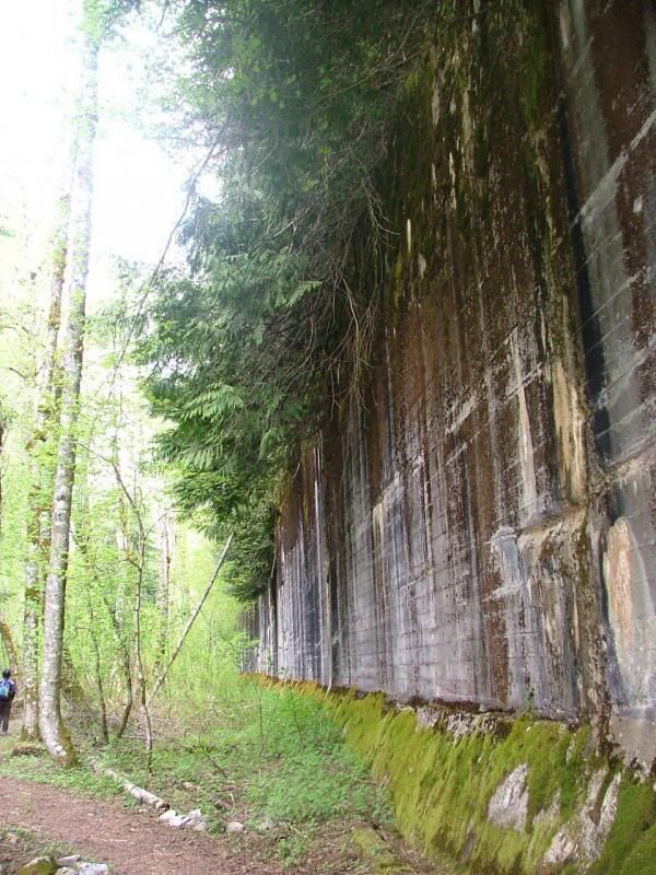
Jay, Stef and Linda.
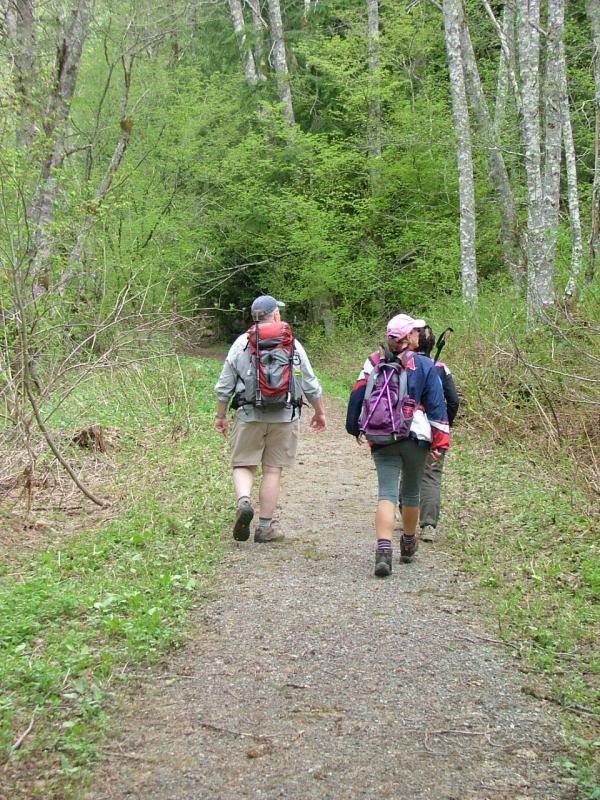
There are many "Interpretive Signs" in the area. You can read all the history while you hike.
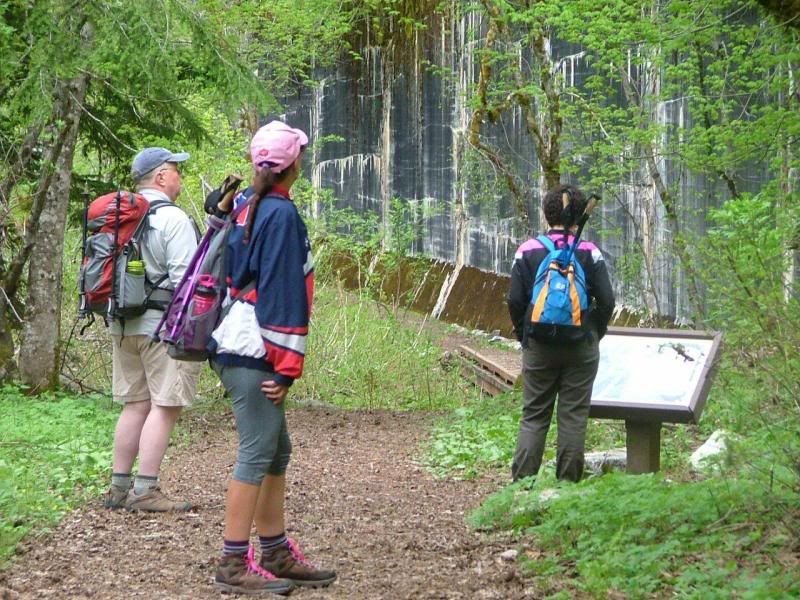
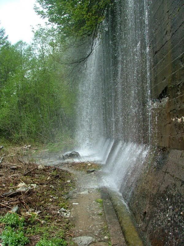
There is a LOT of snow run off. Lucky for us, it's liquid. We would never even think of hiking in this area during the winter.
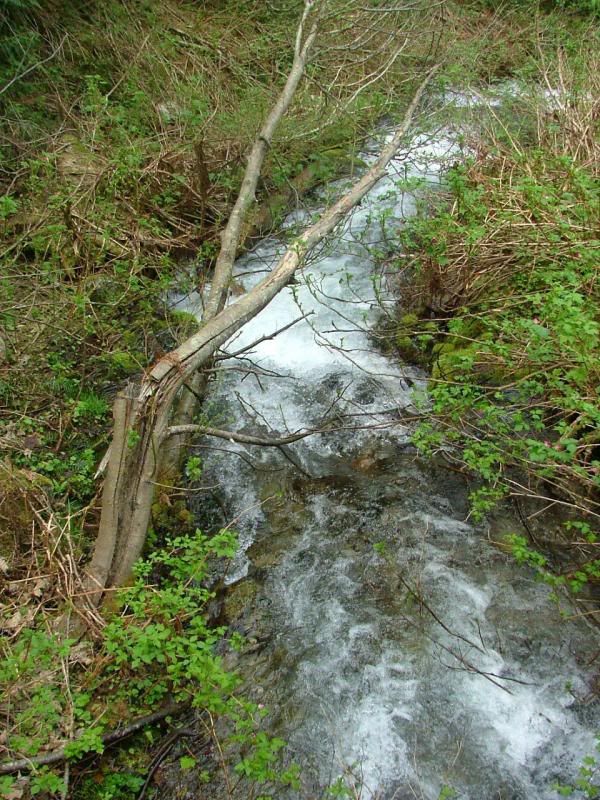
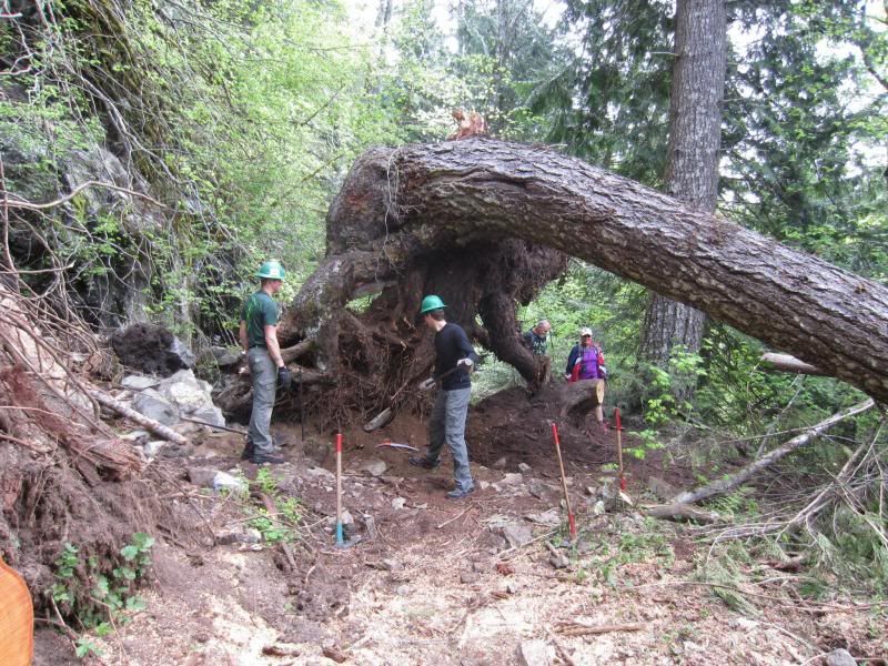
Volunteers work almost every weekend in spring, to make sure the trails are nice and safe for us to enjoy. We sure appreciate them. As a bonus...more people making noise on the trail, less chance of bears coming around. This is the exact area where Jay saw two bears a couple years ago, on another hike here.
Not all the snow is gone, but it was very warm, 70-80. We never got cold.
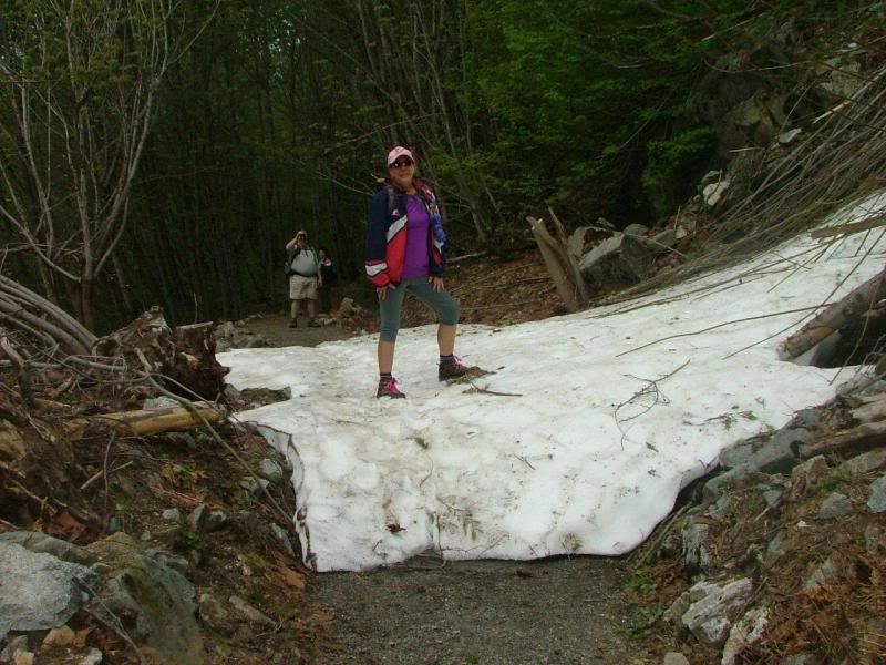
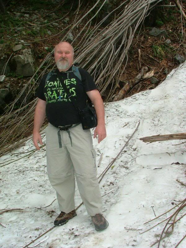
Butch never even put a jacket on. He's a MAN! You might notice that he is actually less of a MAN than he had been. He has lost 40 pounds himself, lately. I'm so proud of him! He is still losing more. He is winching all his pants up and adding new holes to belts! haha
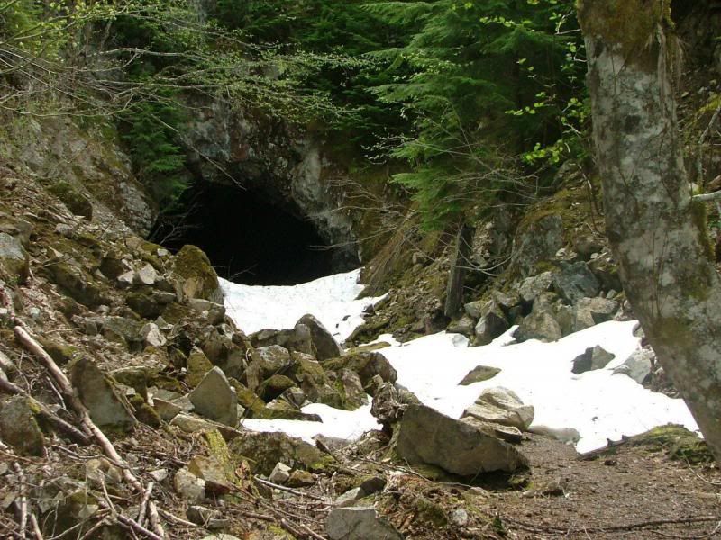
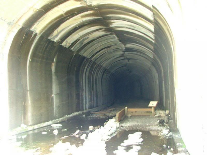
Besides the actual tunnels, which there are several, there are caves too.
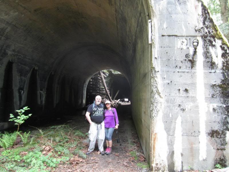
Rick and Stef.
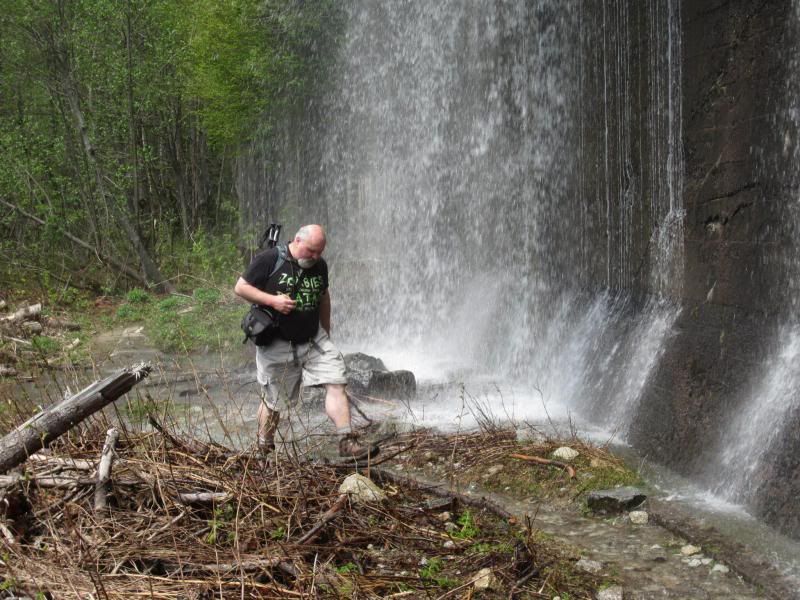
Rick had to finally zip off the legs on his trousers. It was getting too warm. The water coming off these backwalls was extremely cold!
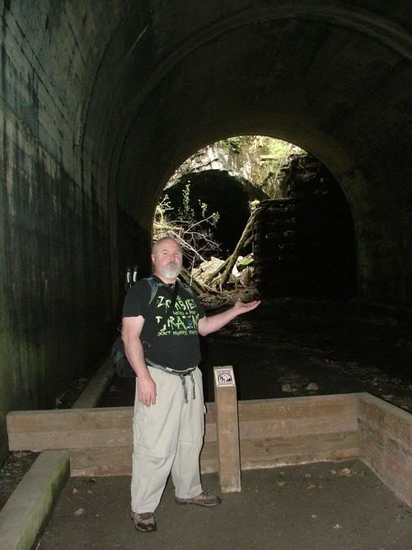
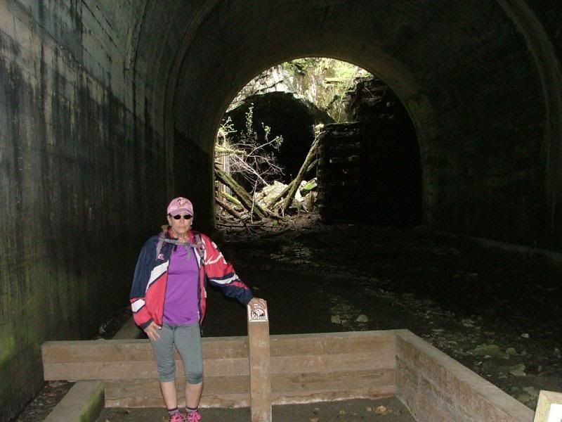
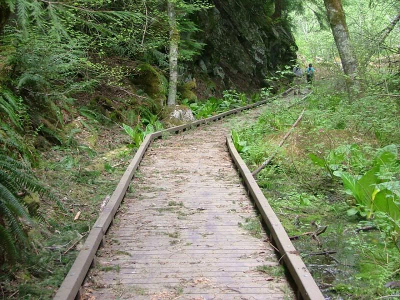
Some areas had nice boardwalks built. Most did not. But, the trails were well maintained.
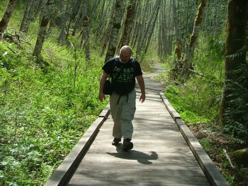
My guy!
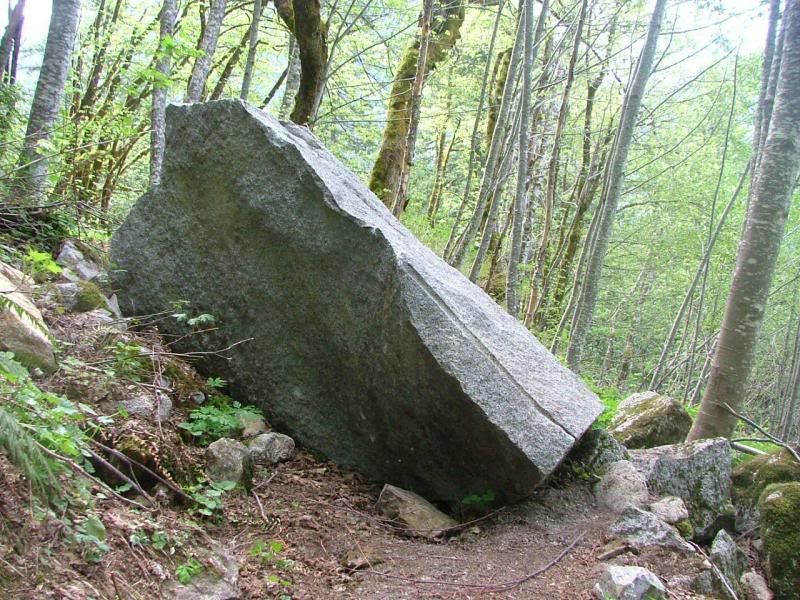
We had to climb around this boulder. It had slid down the mountain recently and landed smack in the middle of the trail.
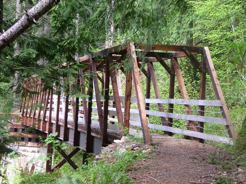
There were a few cool bridges around.
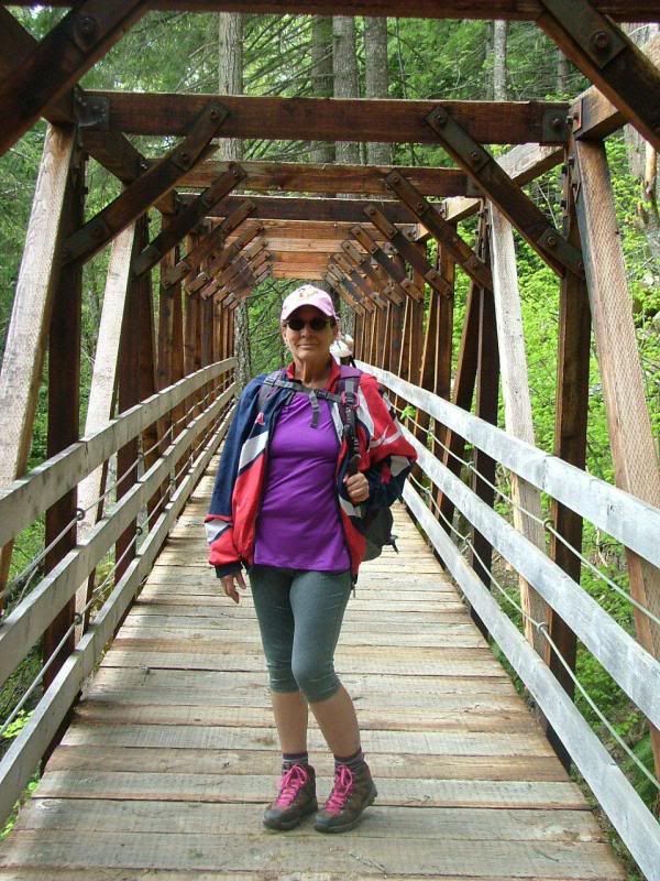
Stef.
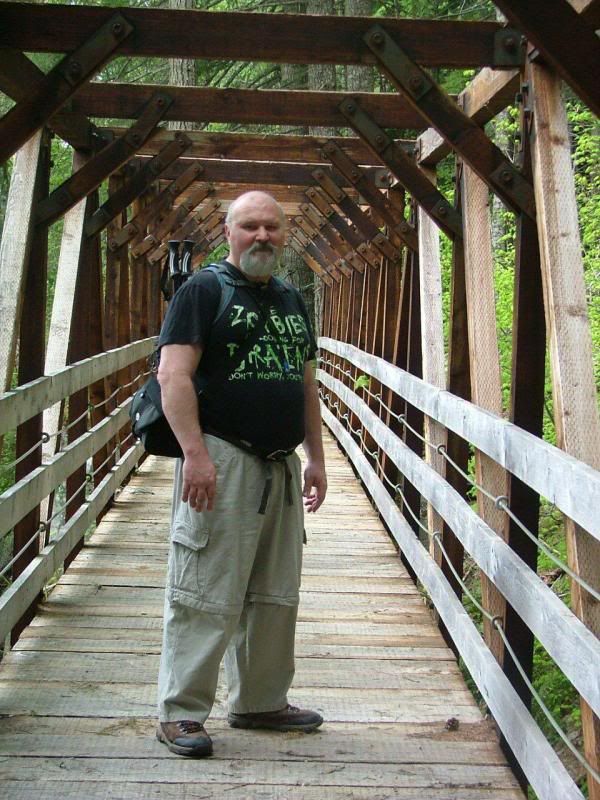
Rick.
One of the Interpretive Signs.
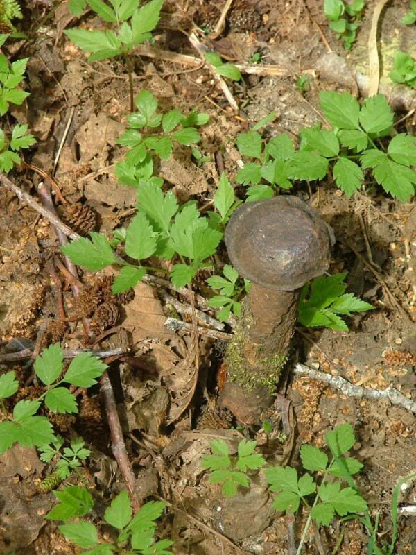
There were railroad spikes still stuck in the ground, over 100 years ago.
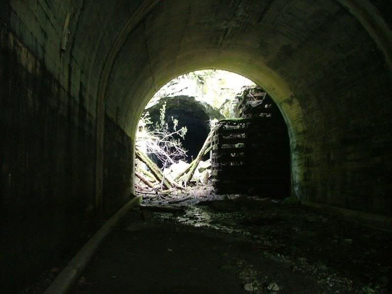
One of the huge tunnels. You can almost hear the old locomotive coming.
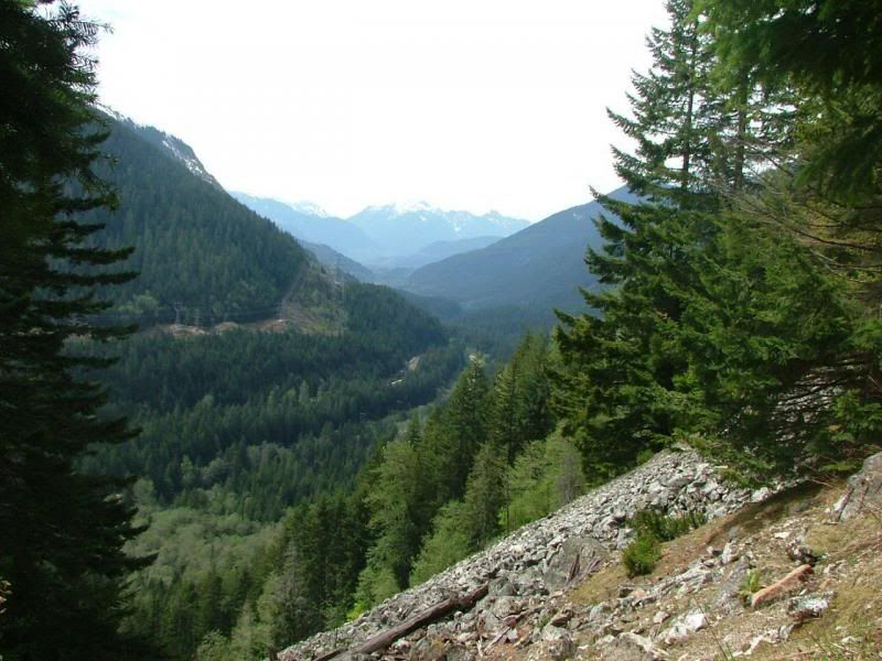
Our view across the valley.
Getting deeper in the woods, the trail gets more narrow.
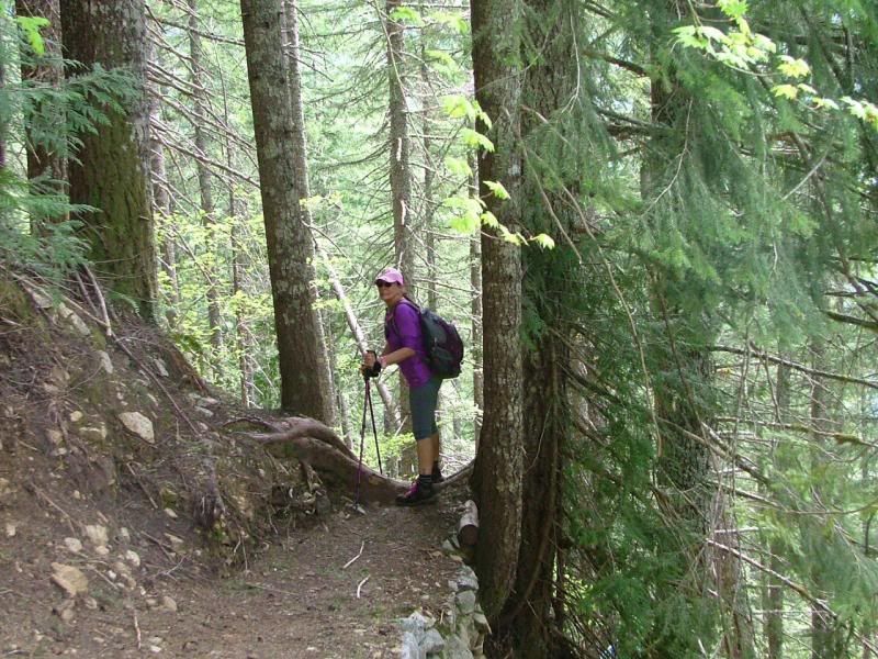
Down the switchbacks. There were tons of them!
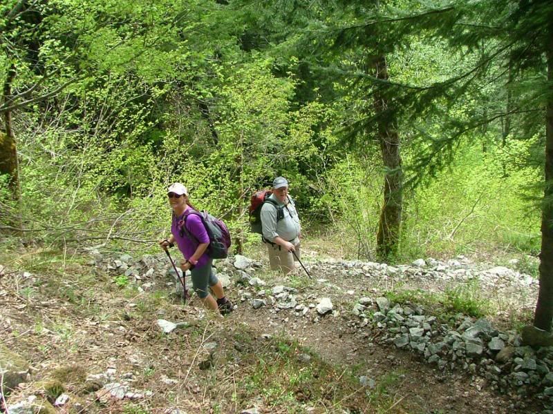
Rick with Pinkee!
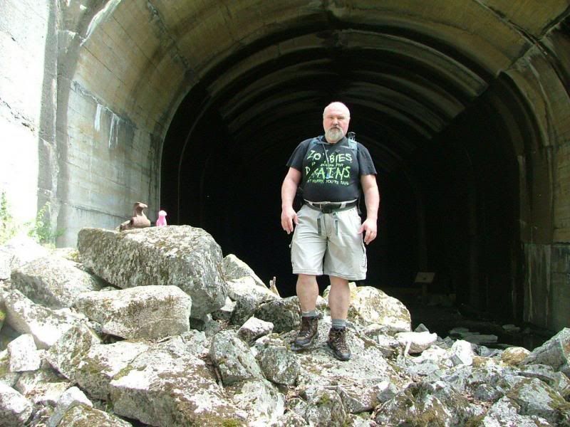
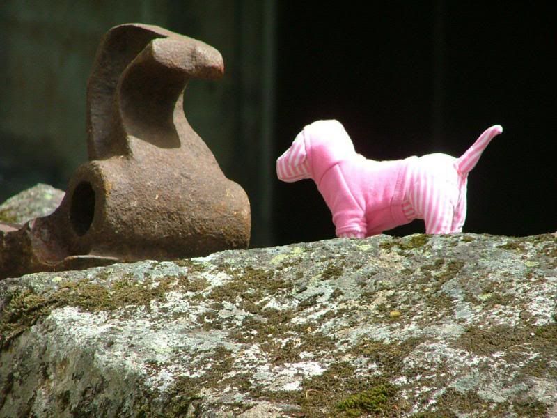
Pinkee's Wilderness Adventures! Here, she is with what she thought was an Iron Duck! Silly dawg!
Yes, we got quite wet a few times.
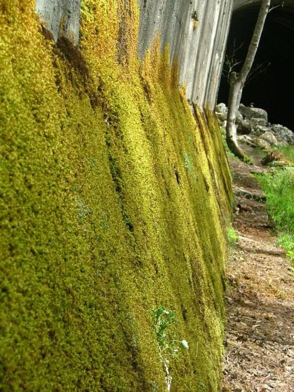
The moss growing on the backwall.
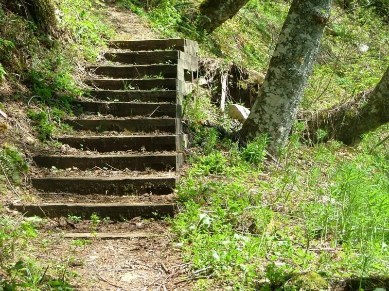
Random steps out in the woods.
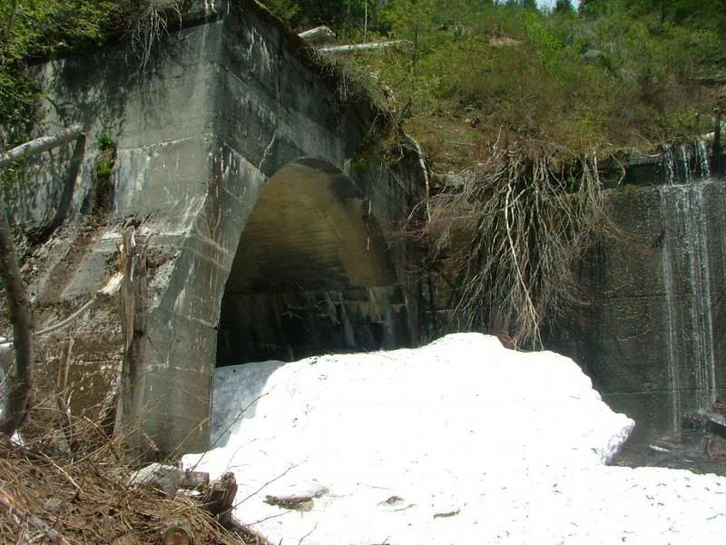
Snow still spilling from a tunnel.
Rick, walking along a backwall.
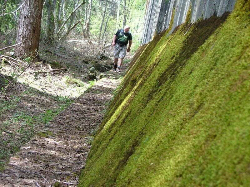
Brrrrr
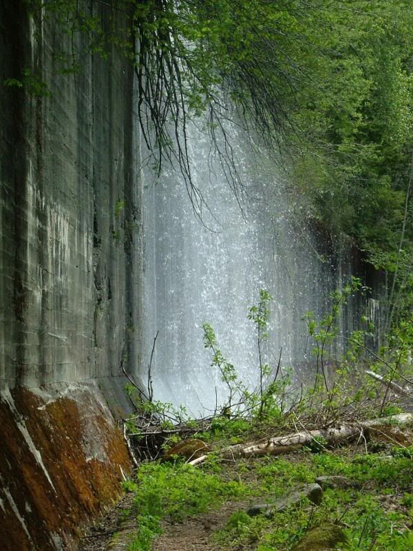
We had to cross right under some of the backwall waterfalls. It was cold and we got very wet. But it was fun and we dried fairly quickly!
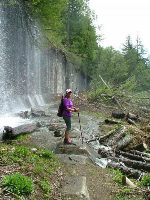
My waterproof boots don't help when ice water comes in the ankle of you boot!
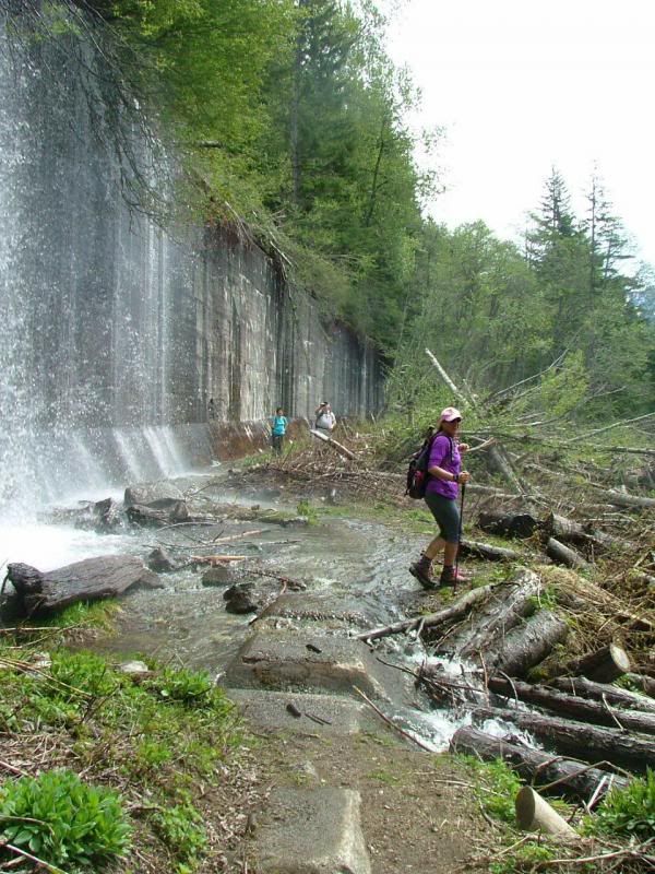
This was the top of a backwall, it was very high.
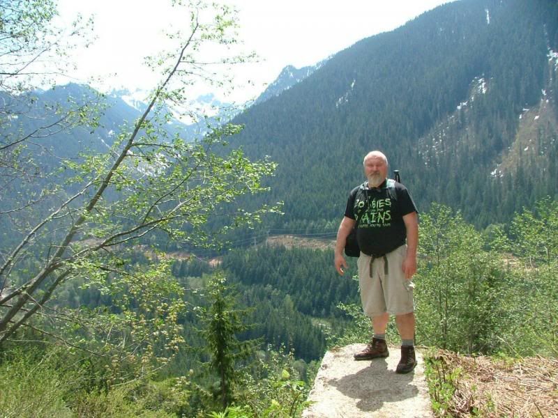
I was a little TERRIFIED up there, I did not get as near the edge as Rick did!
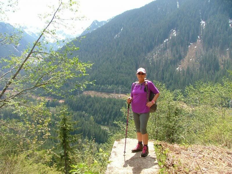
Walking along the edge, the tree tops are next to me.
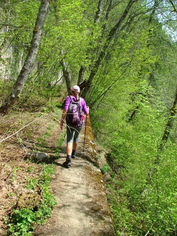
One missed step and you could easily fall up here. We always use extreme caution when we hike. You never know what kind of danger you may end up in.
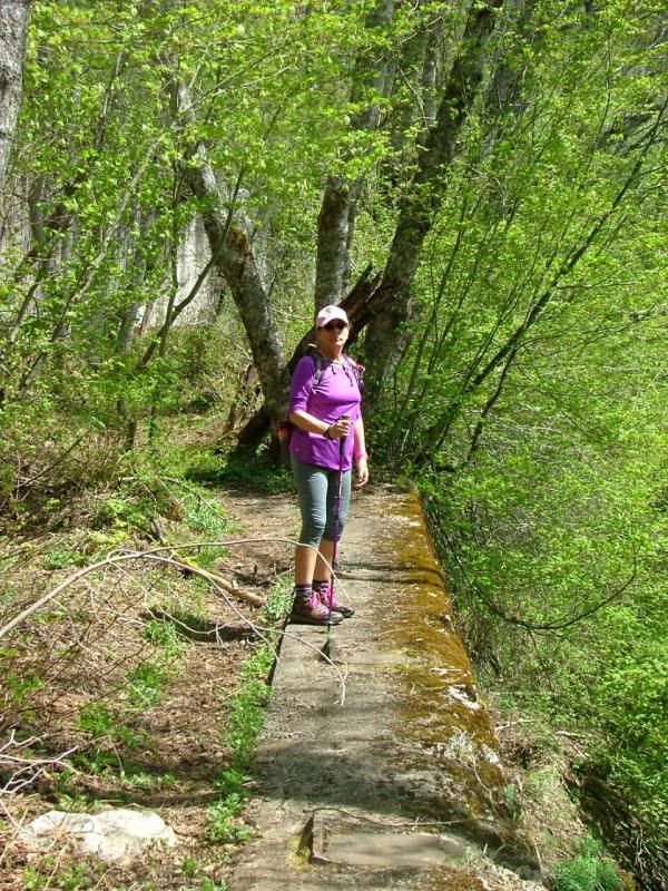
More century old spikes!
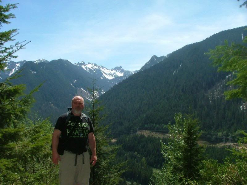
Rick with beauty all around!
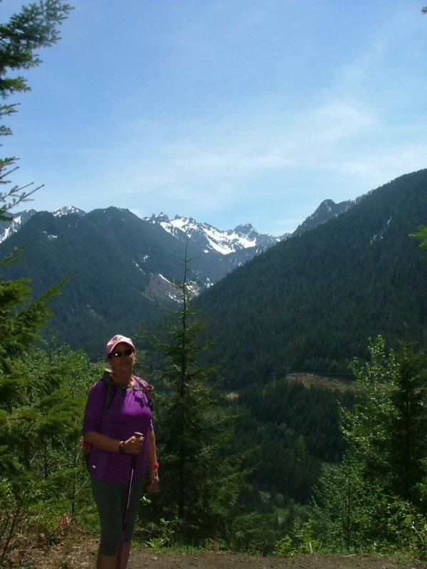
I love spending time with Rick, doing what we love!
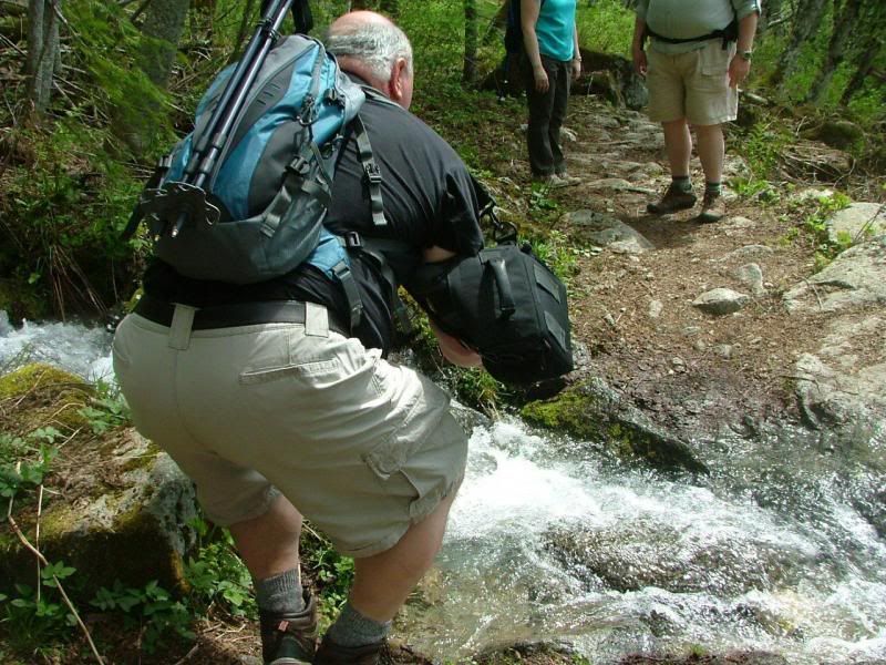
Jump!
We are all tired and hungry! It's been a good day. Best Birthday I have had in several years! Thank you! <3
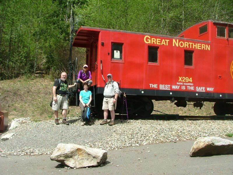
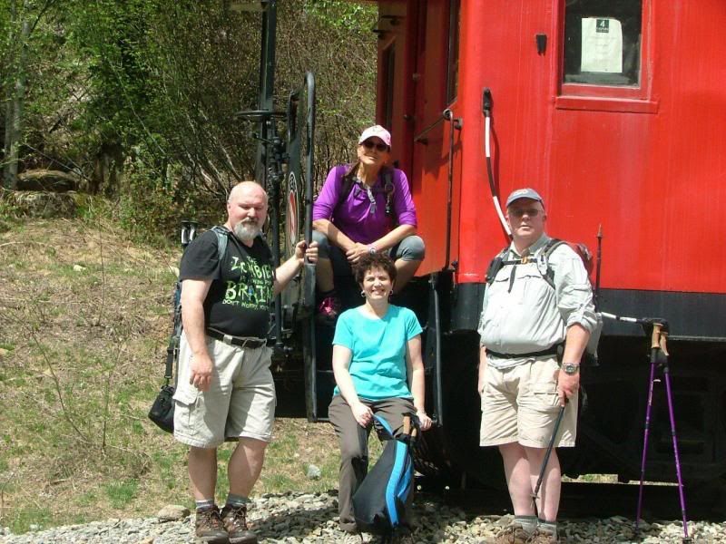
Rick, Stef, Linda and Jay, ready to head to the van and find Mexican food! Si!
What can I say? It was an awesome day, spent with quality people, doing what I have come to love so much in this last year. Hiking and exploring this beautiful PNW I am privileged enough to live in. The weather couldn't have been any better, high 70's to low 80's, sunny and a light breeze. Spectacular mountain views and a trail filled with history. Molcajete after, at La Hacienda. Can you say Happy Camper? I knew that you could. I hope everyone's May 11th was as wonderful as mine! ♥
~Originally posted on May 17, 2013, by Stef~!
I know, it took me a bit to get these pictures up. Between Rick and myself, I had almost 300 pictures to go through. =D
No comments:
Post a Comment